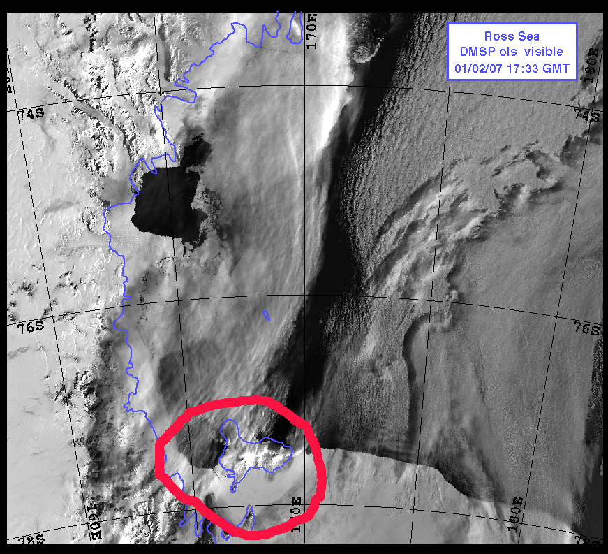
Pictured is the latest satellite view of the
area immediately surrounding Ross Island.
(Circled in Red) As you can see, the Ice
edge is already creeping further and further
south. It is just south of Cape Royds. If
you look very closely, you can see a small
line heading south toward Hut Point Peninsula
(where McMurdo is located). That's the channel
that the Oden is cutting in the sea ice. We
were able to see the Oden from our dorm today.
It could be in the Turning Basin as early
as tomorrow.
No comments:
Post a Comment