Showing posts with label Hiking. Show all posts

Sunday, May 16, 2010

Exploring Hovenweep


We had a great night of sleep and we are actually getting really
good at breaking down camp. Who knows...by the end of the summer
we might actually be able to wrap it all up in a half hour! We made
our way over to the Visitor's Center where the main trail surrounding
the ruins at Hovenweep begins. Hovenweep was a small community
of farmers and hunters located around a small canyon. From the
trail, one can see most of the dwellings and they are all pretty
spectacular. Add to the fact that hardly anyone was here besides
us, made it even better.


The ruins here are in average condition, but to me, that helps give
one a feeling of how they looked when they were first discovered.


We left the Square Tower group near the Visitor's Center and drove
toward the Holly/Hackberry Group. Even fewer people visit this
remote area and it is located a short drive down a dirt road to the
northeast. We hiked in over some really interesting slick rock
to the Holly Group and there it was with a commanding view of the
canyon.


Indian Paintbrush is one of my favorite flowers and they were here in
abundance as well as many other varieties.


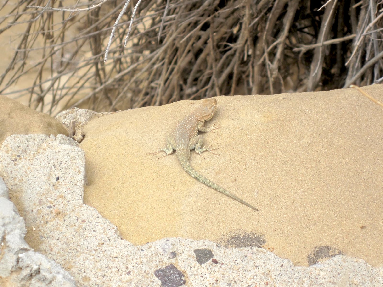
We saw all kinds of lizards along the trail, but this yellow-headed
collared lizard did a wonderful job of posing for us.

Friday, May 14, 2010

A Day of Exploring


Exploring the Great Houses such as Pueblo Bonito and Chetro
Ketl are always interesting and we could take a week exploring
all the different ruins here, but we were most interested in
visiting ruins that we hadn't visited before. This would involve
a bit of hiking, which we definitely up for. The first site we
checked out was Kin Kletso. At one time, it contained about
55 rooms, 4 kivas and 1 tower kiva. It was actually built by
McElmo phase people who came from the north, late in the
period in which Chaco was occupied.


Much like the other sites at Chaco, almost all of the wood had
to be brought in from miles and miles away. Kin Kletso's beams
were no different. Quite a task for a people who didn't know of
the wheel.


I enjoy seeing the different masonry and doorway styles in
each of the pueblos.


Along the trail, there were a number of petroglyphs. Chaco was
also a huge center of astronomy and we found a circular design
that might have been used to measure the seasons. The sun
would shine at different points of the circle on major astronomical
events of the year such as solstices and equinoxes.


Another small site we visited was Casa Chaquita. It's currently
unexcavated and was probably built around 1100. It was also
a good place to stop for lunch!

Because this area is very dry, there isn't a lot of wildlife in the area,
but we did see a fairly large number of lizards.
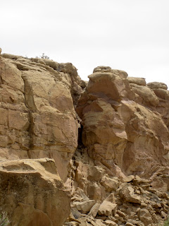

At the beginning of the day, we had bold ambitions. The boldest of
which was hiking the Pueblo Alto trail. This would mean hiking up
the cliff side (the difficult part) and then hiking across the top of the
cliff side to overlook Pueblo Bonito and visit the Pueblo Alto complex.
Wait...not so fast. When we got there, we looked at the climb...steep,
but not un-doable. It also included a VERY narrow section where one
has to squeeze through between several huge sections of rock.
We started up and found the trail to be very rough. It hardly qualified
as a trail at all. We took a quick vote and decided to save it for a time
in which the trail might be improved. Rest assured Mom...your youngest
child isn't a complete idiot!
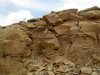

As we were headed back to the car, we saw this couple scrambling
up the cliff side and decided we had made the right decision.


With our hiking for the day completed, we had the option of checking
out other pueblos, going back to the campsite to read (me) or knit
(Lynn). Instead, we decided to exit out the south end of the park
toward the Navajo town of Crownpoint. The sign warned that the
road would be rough. Ha! it wasn't lying, As rough as the road is
entering the park from Nageezi in the north, this road was much
more wash-boardy.


However, there were lots of beautiful views available.


I'm pretty sure we were never "quite" on this angle while driving the
road, but it certainly felt like it sometimes.


Along the way, we drove by a Navajo ranch that had a number of
jewelry items for sale "Self Serve". A few little signs near each piece
asked people not to steal them. It's interesting that people would
actually think of doing so.


We came to a sign that left us scratching our heads. Were we headed
to Heaven...or Hell?


I was interested in visiting Crownpoint. For one reason, it is one
of the few areas of the Navajo Nation that we haven't visited and
I also grew up near the town of Crown Point, in Indiana. The town's
name was definitely where the comparison ended however. it's not
a bad little town. Just very remote and much much smaller. We
stopped at Basha's (a southwestern-based grocery chain that has
locations in lots of the larger Navajo Nation towns such as
Kayenta, Ganado, Window Rock, etc.).


The southwest is known for it's dinosaur relics, but we didn't think
we'd see one on this trip! Maybe it's even the remnants of a dragon.
Albeit a happy one!


We did a bit of stargazing before bedtime. One of the reasons we came
during this time period is that we knew there would be a new moon and
this is one of the most remote areas in the Lower 48 to view stars.
There is very little light pollution. Unfortunately, there were also more
clouds that we would have liked and way more wind than we would have
liked. It made for a short sky-watching evening. Fortunately, we had a
nice fire and it made for a cozy evening.

Friday, December 25, 2009

Ob Hill Loop


Overlooking McMurdo is Observation Hill...or Ob Hill
for short. It stands 750 feet above sea level and
provides a wonderful view of the surrounding area.
On this night however, I didn't climb Ob Hill...I
hiked around the base of it, on the Ob Hill Loop.
This is one of several fun hikes that make up the
Ross Island Trail System. At 3:00 in the morning
there are very few folks to share the trail with so
I found myself alone while making this interesting
hike.


Hiking around the base is a bit of a misnomer. In
most cases one walks across it, about halfway between
the summit and McMurdo Sound, far below. See the line
about halfway up in this photo? That's the trail. Not
a lot of room for error, especially since the trail is
less than a foot wide for most of it's length. When
I told Lynn afterwards that I hiked this trail by myself
(which is totally within the rules), she told me she was
glad she didn't know because she would have been a nervous
wreck!


On the backside there is a small crater that holds a
tiny pond. I had no idea this was here before I saw it.


Most of the trail meanders a bit, with lots of switchbacks
to cover elevation rises and falls.


Although there isn't any life along the trail (Characteristic
of all of Ross Island), there were some areas that seemed
even more barren than others, containing thousands of
square feet of volcanic cinders.


From one point, one gets a great view of Scott Base,
seen on the edge of the Ice Shelf. The fog was pretty
heavy, making it feel very "Brigadoon-ish".


Along one section there were bleached penguin bones
scattered along the cinders. Skuas apparently take
their penguin prey here for dinner and only the bones
remain.


The wind does some weird and powerful things to the
rocks, causing strange formations.


I found it really interesting to see all of the
different colors that were present in the volcanic
rock that makes up Ob Hill.


I knew I had reached the end of the trail when I saw
the trail marker sign showing the beginning if coming
from the other direction.

It was a great hike. It was really really nice to have
complete silence away from town and even have my adreneline
flow a few times. Well worth the couple of hours to
commune with nature.

Monday, December 07, 2009

Weddell Seals


While I was on the trip to the Scott Base
Pressure Ridges, we came across this mother
and pup Weddell Seals. Both were really
animated, which is out of the ordinary
since most seals spend a majority of their
time lounging on the ice, soaking up the
sun.

Pressure Ridges


What is a Pressure Ridge?
A pressure ridge is formed where an ice sheet
is broken and one piece rides over the other.
The actual "pressure" is often provided by winds,
storms or ocean currents that can be many miles
distant acting on the edge of the ice sheet.


This evening, I took a tour of the Pressure
Ridges near Scott Base, with the Recreation
Department. I've seen them for years, but
had never had the chance to go on one of the
trips. In a word, they were FANTASTIC!


They extend for almost two miles along the
edge of the landscape and are eerily other-
worldly. In a way, the landscape reminds me
of Arches National Park, in Utah, but a much
colder, whiter version.


Along the way, we saw a mother and baby seal
that were lounging in the sun. In a few weeks
there will be dozens of these seals here along
the ridges, but for now, we only saw three.


We followed a group leader along "trails" that
had been approved by Scott Base and McMurdo's
outdoor safety group. The trail was fairly
sturdy, but I was glad I had my boot ice grips
and trekking poles. It definitely made for a
more fun experience, knowing that footing would
be solid. There were lots of mushy places though
as well and I buried my foot once in about a foot
of slush. Ugh.


It was also interesting to see Scott Base from
such a different angle.

The tours are ending this week as the ice is
becoming too unpredictable and slushy so I'm
glad I had the chance to experience this
beautiful phenomenon.

Monday, November 23, 2009

Outdoor Safety


Tonight I attended Outdoor Safety Class. This
is the class/lecture/presentation you have to
attend if you want to do anything outside here.
By outside, I mean hike trails, etc. I really
want to hike the Ob Hill Loop this year and at
least part of the Hut Ridge Trail. I guess I
better start hitting the treadmill at the gym
if I want this to happen. Especially with the
holidays upon us!